
Terrestrial laser scanning (TLS) is a technology based on LiDAR – 3D spatial data is collected from the ground as a point cloud. Points are obtained by sending a laser beam towards an object of interest and reflecting it back into the scanner. The result of this type of laser scanning is a dense point cloud. By subsequent processing, filtering, georeferencing and modelling the point cloud, a 3D model of the captured area can be generated. Based on the obtained point cloud and generated 3D model, an animation of the area of interest could be made.
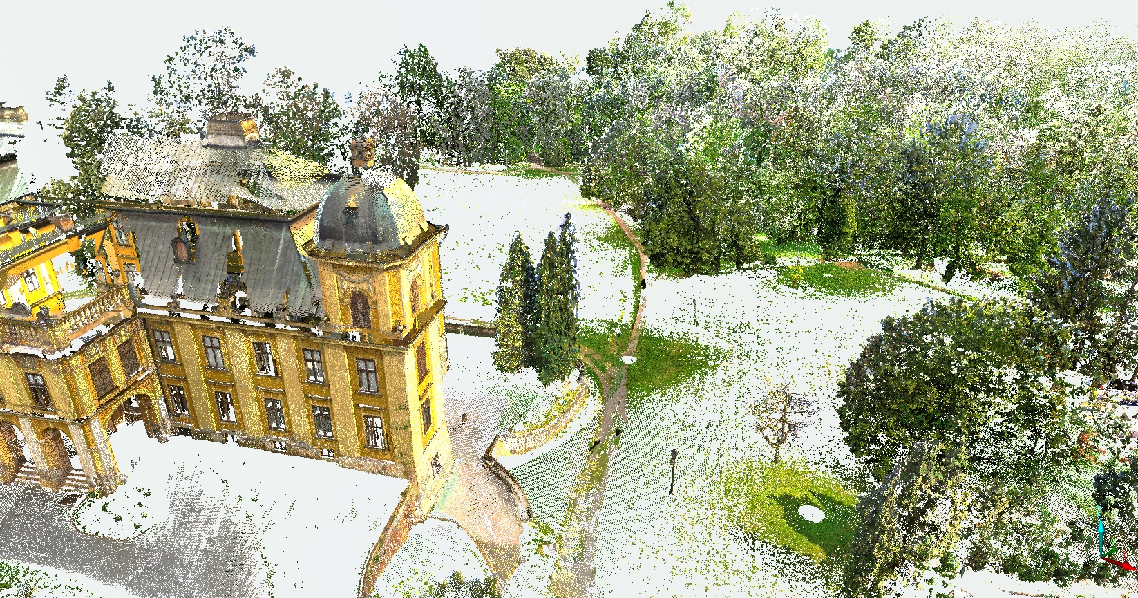

The main advantage of TLS is the collection of numerous points in a short time, while each point has its own x, y, z coordinates and intensity data. TLS offers the ability to capture the area by an RGB camera to obtain data on the texture of the area.
The accuracy and point cloud density achieved by TLS depends on the type of scanner and the surveying method. Our team of experts is capable of producing the final result by meeting the project goals, regardless of the required accuracy and application.
There is a wide range of applications of data obtained by terrestrial laser scanning: various spatial analyses, archaeology, urban planning, speleology, forestry, etc.