
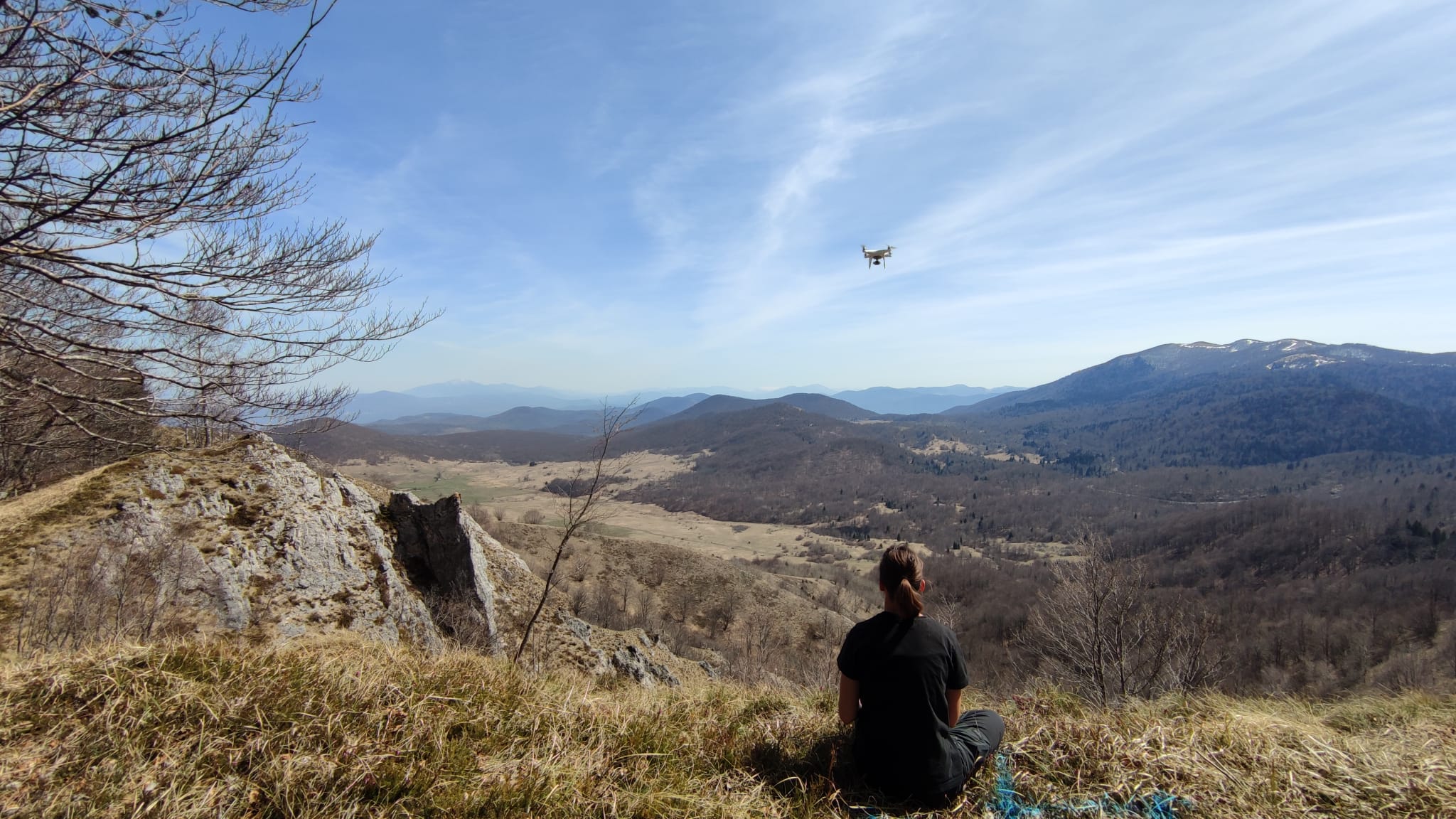
A drone is an unmanned aerial vehicle capable of flying independently according to a pre-programmed flight plan or remotely controlled by pilot. The drone in aerial photogrammetry is used for generation of digital orthophoto, point cloud, digital terrain model, digital relief model, 3D model of objects and other basemaps in raster and vector format.
Aerial platform allows for extraordinary efficiency and speed for gathering accurate spatial data to support asset management needs for numerous industries. We use aerial platforms to perform data acquisition tasks to meet a wide range of client needs in market sectors such as oil and gas, electricity, pipeline, rail and transportation, architecture and engineering, and telecommunications.
The drone flight in the Republic of Croatia is regulated by the Ordinance on Unmanned Aircraft Systems, “Official Gazette”, number 104/2018, Ordinance on the rules of the air (“Official Gazette”, number 128/14), Standardized European Rules of the Air (EU) No 923/2012, European regulation (EZ) 376/2014, Air traffic act (“Official Gazette”, number 69/09, 84/11, 54/13, 127/13 and 92/14), and Ordinance on airspace management (“Official Gazette”, number 32 and 104/2018). A drone licence must be registered, a flight must be reported, and the drone operator must be registered or obtain approval from the Croatian Civil Aviation Agency to perform drone flight operations, depending on the area where the survey is being made.
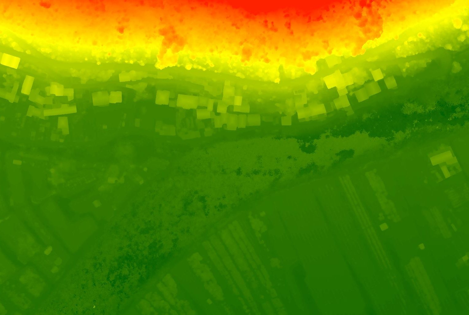
Drone survey is undertaken by making a flight plan to capture the area covered by the project, determining the position of landmarks – ground control points (GCPs), performing aerial survey, post-processing aerial images, and generating high resolution digital orthophoto, digital terrain model, and digital relief model.
The spatial resolution achieved by drone aerial photogrammetry is 5 cm/px for a digital orthophoto and 10 cm/px for a digital terrain model and a digital relief model.

We have years of experience in drone surveys in different conditions on different terrains. Our aerial photogrammetry projects vary in size, purpose of surveying and output resolution.
Our team utilizes state-of-the-art software to develop digital terrain models and topographic mapping, and to perform various analyses on acquired data. Our services include comprehensive aerophotogrammetric acquisition and data processing solutions. Using multiple data processing software systems, we tailor our data processing to the specific needs of our clients.
