In today's world, we can no longer function, plan and develop without information. We need fast, accurate, meaningful and visualized insights obtained from a huge amount of data about the space that surrounds us. We need data at our fingertips in a form we understand and can use at any time.
We need order in the space in which we live.
U današnjem svijetu više ne možemo funkcionirati, planirati i razvijati se bez informacija. Potrebni su nam brzi, točni, smisleni i vizualizirani uvidi dobiveni iz masivne količine podataka u prostoru koji nas okružuje. Trebamo podatke na dohvat ruke u obliku koji razumijemo i možemo iskoristiti u bilo kojem trenutku.
Trebamo red u prostoru u kojem živimo.
Inovativna platforma tvrtke Prehnit koja gradovima i općinama omogućava učinkovitiju, transparentnu i pravednu naplatu komunalne naknade s povećanjem prihoda i do 50%.
Upravljanje i planiranje resursima, imovinom i operativnim poslovanjem kroz PAW digitalnu platformu. Modularna nadogradnja omogućuje rješenja prilagođena klijentima iz brojnih sektora: nekretnine, poljoprivreda, turizam, komunalna infrastruktura, urbano planiranje, industrija, promet.
'Information is a source of learning. But unless it is organized, processed and available to the right people in a format for decision making, it is a burden, not a benefit.'
- William Pollard
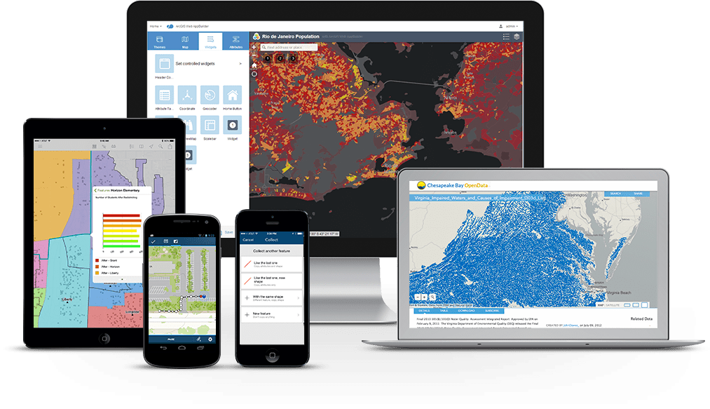
GIS (geografski informacijski sustav) osnova je geoprostorne znanosti i tehnologije koja ima veliku ulogu u stvaranju održive budućnosti okruženja u kojem živimo. GIS je postao alat bez kojeg nema napretka, bilo da je riječ o digitalizaciji gradova, razvojnom planiranju, predviđanju prirodnih nepogoda, efikasnijem upravljanju imovinom, uređivanju podataka o ruralnim i urbanim površinama, iskoristivosti obnovljive energije. Primjena GIS rješenja moguća je i poželjna na sve aspekte našeg života.